Samaras' EcoSwarm system makes air sampling a breeze
Traditional in-situ monitoring systems typically stop at or near 10 meters above ground, leaving a critical layer of the lower atmosphere unobserved.
Early detection of wind shear, boundary layer height variations, and emerging convection in the lower atmosphere is vital for predicting severe weather events like thunderstorms.
Many aviation incidents stem from weather hazards not visible at ground level. Clouds, wind shear, icing, or rapidly developing turbulence often emerge within this lower layer, highlighting the need for above-ground observations. For drone operations and manned flight alike, real-time vertical profiling enhances safety and situational awareness.
Agricultural decisions, from planting and irrigation to pest control, depend on understanding microclimatic conditions at the field level, including temperature, moisture, and wind behavior. UAS swarms enable dynamic monitoring across varied crop zones, guiding more efficient, sustainable farming practices.

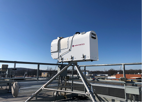
Systems like radiometers and radar profilers are highly expensive and monitor only a narrow vertical slice of the atmosphere. Mostly used for research, and are not scalable for operational or business use

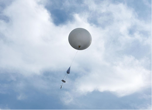
Provide vertical profiles of temperature, humidity, and wind. But they are single-use, labor-intensive, and capture data at only one point in time and space. Subject to the drift of the wind

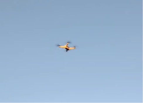
Some drones can fly vertical profiles, but they are limited to one aircraft at a time. This restricts coverage and prevents building a 3D picture of the atmosphere.
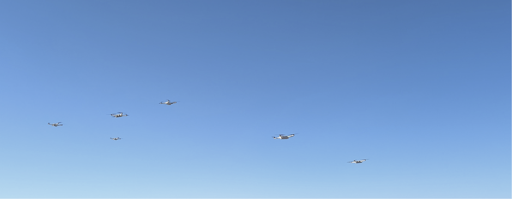
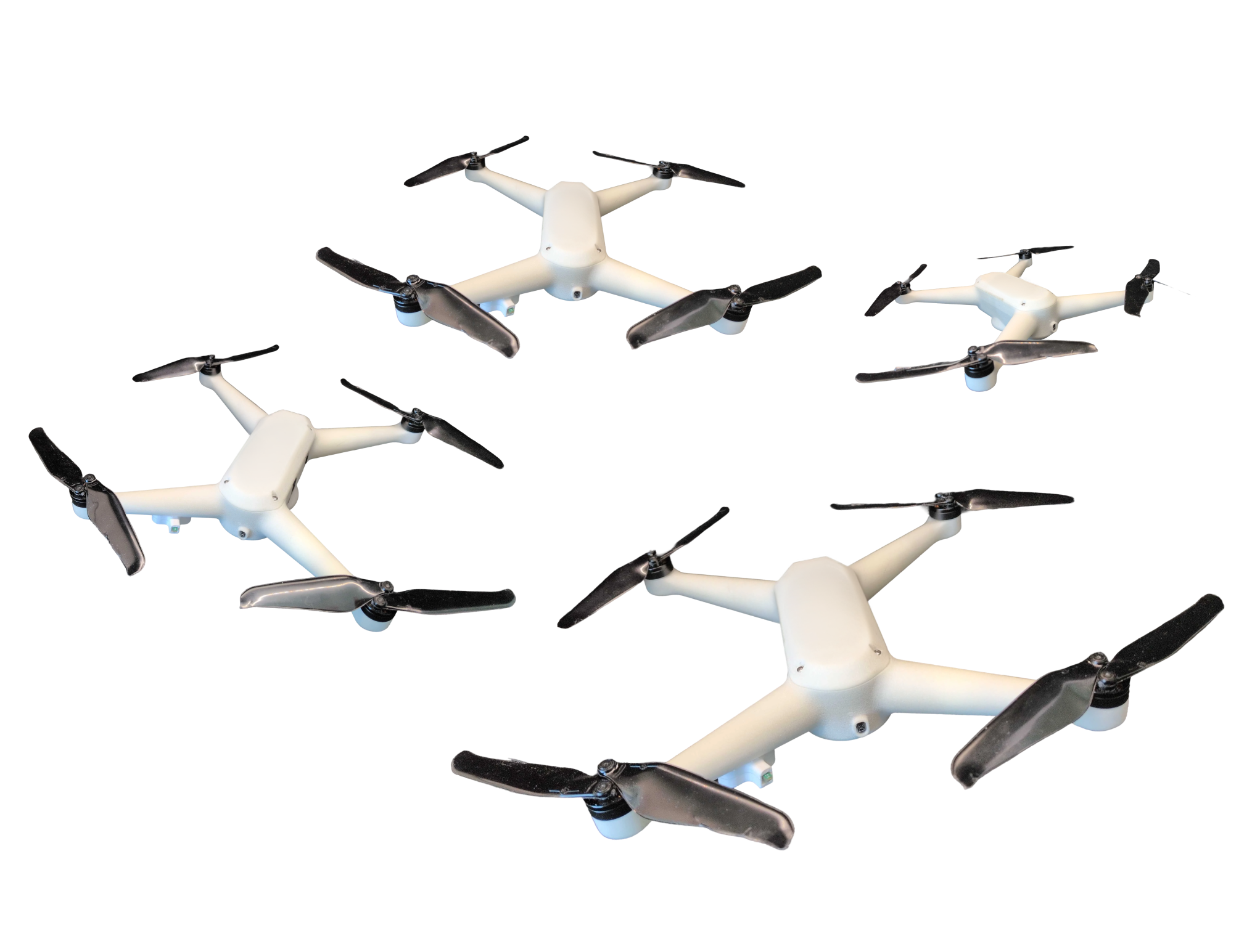
At the core of this platform are the EcoDrones — the lightest and smallest weather-sensing drones available. Deployed as a coordinated swarm, EcoDrones capture simultaneous, multi-level observations of the lower atmosphere, providing data exactly where it is needed and unlocking insights that traditional tools cannot provide.

Compact, ultra-light drones designed for safe operations.
Coordinate fleets of drones to gather data simultaneously.
Capture multi-point observations across different altitudes and geographies.
Operate in extreme temperatures and high winds, ensuring reliable data when it matters most.
Collect far more data per mission than traditional tools or single-drone systems, reducing the cost per dataset.
Scalable and efficient, offering a fraction of the cost of legacy remote-sensing systems.
Temperature, Pressure, Humidity, 3D Wind Speed and Direction
240mm x 240mm x 45mm
250g

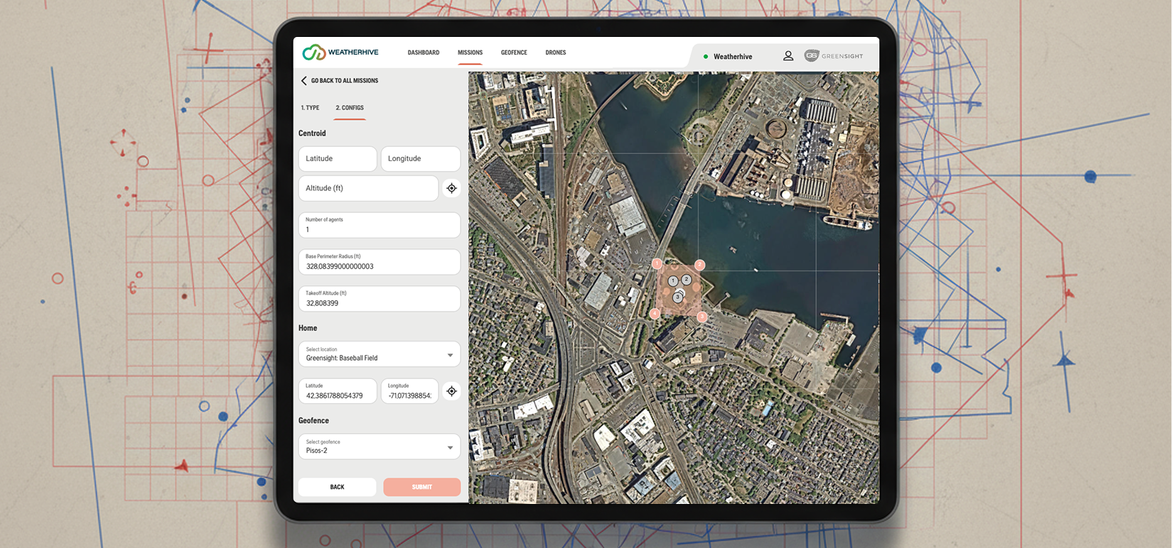
Seamless mission control software designed to make weather data collection effortless. With the EcoSwarm UI, operators can:

Plan missions in advance with intuitive mapping tools.
Launch and manage multiple drones with a single click, enabling synchronized swarm operations.
Easily export datasets into standard formats for analysis, modeling, or integration into existing weather systems.
Whether you need a single mission or a persistent observing network, our team can scope the right hardware and data plan for your project.
Making the world a better place, one little drone at a time.